CIRCUITO CERRADO
CLOSE CIRCUIT
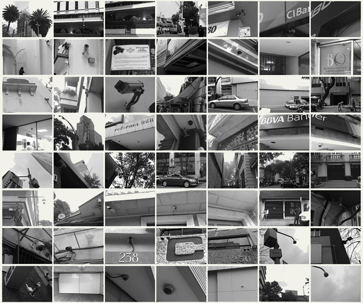
La avenida Reforma y sus alrededores —uno de los epicentros financieros, políticos, comerciales y habitacionales de la Ciudad de México— se despliegan como un cuadrante, donde transitar sin ser vigilado resulta imposible. Circuito Cerrado es una reinterpretación de la ruta propuesta por Ghost Walker, que consiste en develar todas las zonas video vigiladas de la misma. Una multitud de cámaras de videovigilancia (gubernamentales, diplomáticas, comerciales y habitacionales), muchas veces controladas de forma remota, apuntan hacia diferentes ángulos y con diversos alcances hacia las calles, componiendo así un mosaico de la ciudad que se traduce en diversas pantallas no visibles por los transeúntes. El tránsito por este circuito de cámaras (muchas de ellas infrarrojas) deviene en un desplazamiento fantasmagórico del que resulta difícil ser consciente por la cripsis de los dispositivos de la videovigilancia dentro del paisaje de la ciudad.
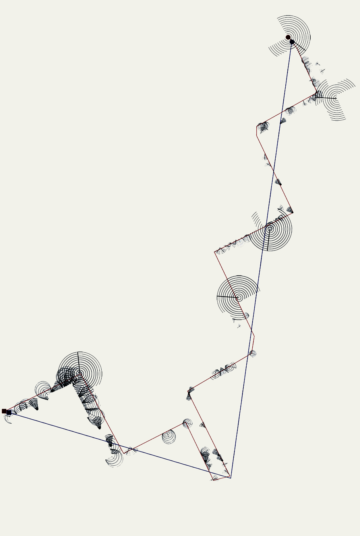
Se registraron las cámaras (visibles) en el recorrido y se hizo un análisis del tipo de cámara, el ángulo que cubre y su alcance. Después, se abstrajo esta información en un mapa en donde la línea azul representa la ruta ‘fantasma’ señalada por Ghost Walker, intransitable hoy en día (a causa de cambios en el trazado urbano de la ciudad desde 1892); y en rojo, se presenta una nueva ruta fantasma, que se intersecta en varios puntos con la anterior, fragmentada en distintos dispositivos de visión remota, compone un Circuito Cerrado, en el que el transeúnte pasa de cámara en cámara, de pantalla en pantalla (con algunos descansos en puntos ciegos).
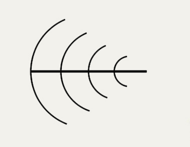
Para el proyecto Circuito cerrado, el alcance y ángulo de las cámaras fueron codificados de la siguiente forma:
Reforma Avenue and its surroundings, —one of the financial, political, and commercial epicenters of Mexico City— unfolds as a quadrant where walking without being watched it is almost impossible. Closed Circuit is a reinterpretation of the route proposed by Ghost Walker, which consists of unveiling all the video surveillance areas of these avenues. A multitude of video surveillance cameras (governmental, diplomatic, commercial, and domestic) mostly controlled remotely that point with different angles and different reach towards the streets. Composing a mosaic of the city; which translates into various screens that are not visible to the passersby. The transit through this circuit of cameras (many of them infrared) turns into a ghostly displacement, one that is difficult to be conscious of, thanks to the crypsis of the devices within the landscape of the city.
The (visible) cameras were recorded on the route and an analysis was made on the type of camera, the angle they cover, and their scope. Afterwards, this information was abstracted on a map where the blue line represents the 'ghost' route signaled by Ghost Walker, impassable today (because of the changes in the urban layout of the city since 1892); and in red, a new ghost route is presented, intersecting in several crossing points with the previous one. Fragmented into different remote viewing devices, which make up a Closed Circuit where the passerby goes from camera to camera, from one screen to another (passing by some blind spots).
The scope and angle of the cameras were codified in the following way:
Cámaras omnidireccionales,
pan-tilt-zoom del Gobierno del Distrito Federal
360 grados; 150 metros de alcance en zoom; 9 metros de alto; operadas desde diversos centros de vigilancia; sensor infrarrojo; algunas con sensor de calor. Pertenecen al Sistema Tecnológico de Videovigilancia del programa Ciudad Segura del Gobierno del Distrito Federal que se extiende por toda el área metropolitana con un total de 8,088 cámaras de 20 y 9 metros de alto.
Omnidirectional cameras,
pan-tilt-zoom of the Federal District Government (Mexico City)
360 degrees; 150 meters of zoom range; 9 meters high; operated from various monitoring centers; infrared sensor; some with heat sensor. Belonging to the Technology Video Surveillance System of the Safe City Program of the Government of Mexico City, it extends on all the metropolitan area with a total of 8,088 cameras, 20 to 9 meters high.
Cámaras domo
Circulares; pueden ser infrarrojas; a prueba de vandalismo; pueden ser de movimiento controlable (con paneos y tilts); pueden estar ‘automatizadas’ lo que evita que se sepa a dónde está dirigida la cámara.
Dome cameras
Circular; they can be infrared; vandalism-proof; they can be operated remotely (panning and tilts); can be "smoked" which prevents you from knowing where the camera is directed to.
Cámaras pan-tilt-zoom
Circulares, anti-vandalismo; pueden ser automáticamente operadas de forma remota para dirigirse (hacer paneos, tilts y zooms) pueden ser programadas para realizar movimientos cada cierto tiempo.
Pan-tilt-zoom cameras
Circular, anti-vandalism; they can be operated remotely (panning, tilts, and zooms) and be programmed to perform movements regularly.
Cámaras pro-box
Con lentes profesionales que permiten una imagen nítida para reconocer rostros; dirigidas a puntos específicos; infrarrojas.
Pro-box cameras
With professional lenses that reproduce a sharp image for face recognition; directed to specific points; infrared.
Cámaras infrarrojas
Con visión de día y de noche; imagen limitada (depende de megapìxeles y sensibilidad del sensor); fijas; económicas.
Infrared cameras
With day and night vision; limited image (depends on megapixels and sensor sensitivity); fixed; economic.
MAPA
MAP
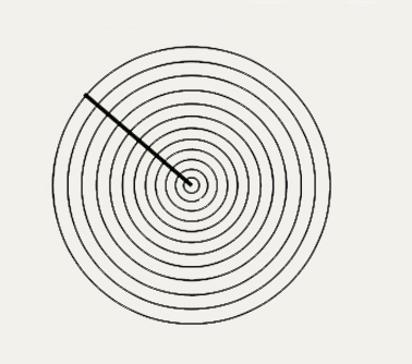
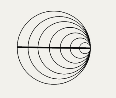
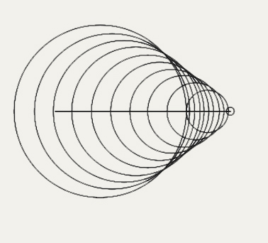
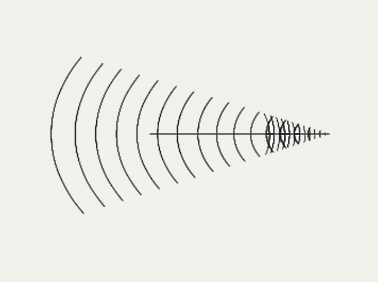
Ilustración en vinilo del trayecto de cámaras. Medidas: 3 x 3 m
Vinyl illustration of the cameras’ trajectory. Size: 3 x 3 m

GHOST WALKER
Circuito cerrado fue una obra comisionada por el proyecto Ghost Walker el cual retoma la geografía urbana como un catálogo de derrotas y ausencias que se infieren por la desaparición de calles, avenidas o inmuebles y con estos relatos personales, gestas domésticas o simple cotidianeidad sin registro en la historia.
Con el objetivo de fomentar la apropiación de tales historias y otorgarles visibilidad se sugirió una aproximación arqueológica a partir de dos ejes: la exploración del trazado urbano a partir de la superposición de planos antiguos y modernos —a fin de definir y recorrer una calle que ya no existe— y el establecimiento de un diálogo con la geografía urbana por medio de la técnica situacionista del dérive, o vinculación sensorial e intelectual por libre asociación del sujeto con su entorno, al igual que por la experiencia de los paseos o acciones colectivas propiciados por Andrei Monastyrsky y el Collective Actions Group en la entonces Unión Soviética.
El itinerario estuvo basado en los mapas: Plano oficial de la Ciudad de México (1867) y Plano oficial de Ferrocarriles urbanos de la ciudad de México (1893), superpuestos al trazado urbano de un mapa de 2016. La investigación buscó recuperar un trayecto perdido, y con él una historia, al tiempo que estableció una plataforma común para que distintas disciplinas imaginaran las posibilidades o limitaciones de los procesos históricos, urbanos y simbólicos inherentes a su permanente mutación.
Closed Circuit was a work commissioned by the Ghost Walker project which takes up urban geography as a catalog of defeats and absences that are inferred by the disappearance of streets, avenues or buildings and with these, personal accounts, domestic exploits, or simple daily routines that go without registration in history.
In order to promote the appropriation of such stories and give them visibility, an archaeological approach was suggested from two starting points: the exploration of the urban layout from the superposition of old and modern blueprints —in order to define and walk a street that does not exist anymore— and the establishment of a dialogue with urban geography through the situationist technique of the derive, a sensory and intellectual connection made by the free association of the subject with his or her environment, as well as by the experience of walks or collective actions, promoted by Andrei Monastyrsky and the Collective Actions Group of the former Soviet Union.
The itinerary was based on the maps: Official Plan of Mexico City (1867) and Official Plan of Urban Railways of Mexico City (1893), superimposed on the urban layout of a 2016 map. The research sought to recover a lost route, and with this a lost history, while establishing a common platform for different disciplines to imagine the possibilities or limitations of the historical, urban, and symbolic processes inherent to the city's permanent mutation.

COLABORADORES
COLLABORATORS
Proyecto e investigación Project and Research
Sandra Calvo
Proyecto comisionado por Project Commissioned by
MODELAB, Artistic initiative that explores public space using experimental historical narratives
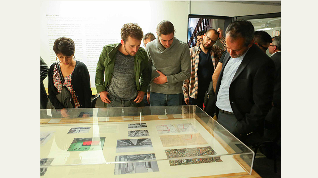
Espacios museográficos Exhibition Venues
Ciudad de México Mexico City
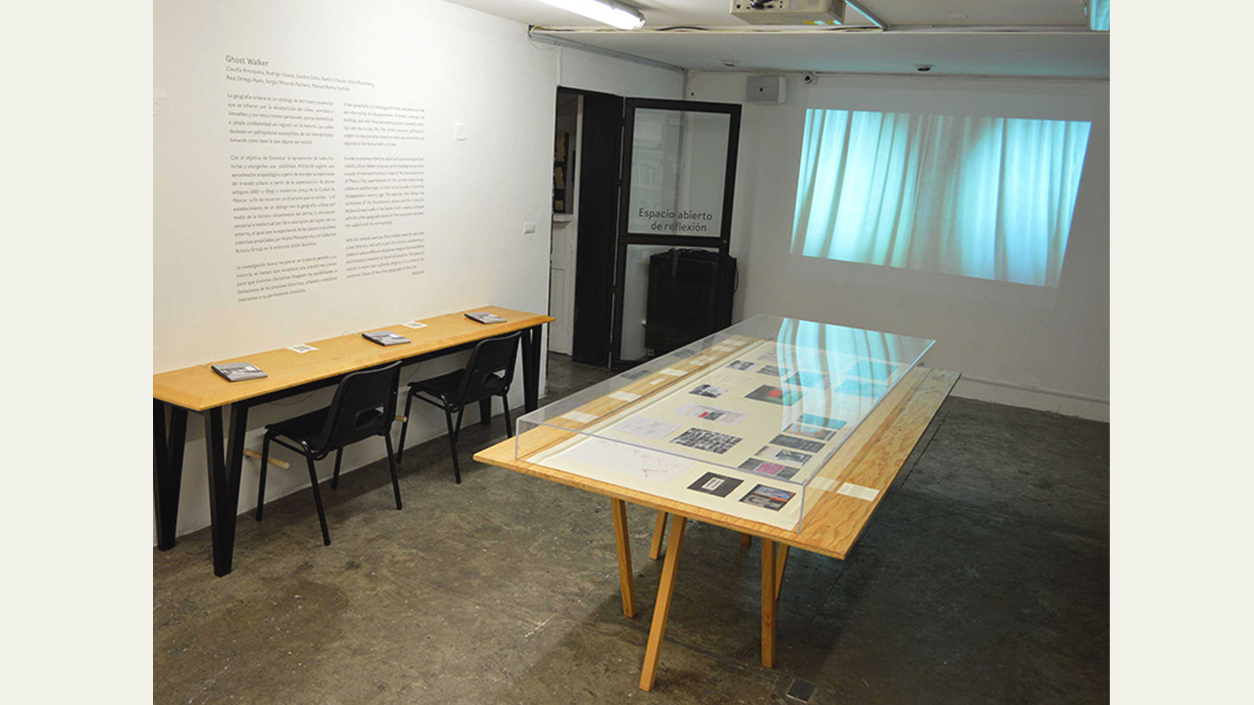
Museo Universitario de Ciencia y Arte - MUCA
Curaduría Curators
Claudia Arozqueta
Rodrigo Azaola
_____
Centro Cultural Universitario Tlatelolco - CCU Tlatelolco
Curaduría Curator
Estudios Curatoriales, Historia del Arte - UNAM
Sinaloa, México
Museo de Arte de Sinaloa - MASIN
Curaduría Curator
Estudios Curatoriales, Historia del Arte - UNAM